Everyone has seen clouds in the sky. And you may have observed that some are white and puffy. Some are dark and cover the whole sky. Different kinds of clouds can mean different kinds of weather. In this lesson, we will learn about what are clouds, how are they formed, different types of clouds, and some more interesting facts about clouds.
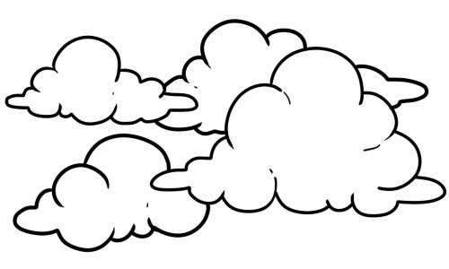
A cloud is a mass of water drops or ice crystals suspended in the atmosphere. The droplets are so small and light that they can float in the air. Clouds are also observed in the atmospheres of other planets and moons in the Solar System and beyond. However, due to their different temperature characteristics, they are often composed of other substances such as methane, ammonia, and sulfuric acid, as well as water.
The saturation of air, when cooled up its level of dew point, is responsible for cloud formation on earth. A cloud may also be formed when the air acquires enough moisture to elevate the dew point to temperatures of ambiance.
Clouds are visible in the homosphere of the earth. The homosphere includes the mesosphere, troposphere, and stratosphere. The clouds’ science is referred to as nephology. It is covered in cloud physics which is a sub-group of meteorology.
All air contains water, but near the ground, it is usually in the form of an invisible gas called water vapor. When warm air rises, it expands and cools. Cool air can’t hold as much water vapor as warm air, so some of the vapor condenses onto tiny pieces of dust that are floating in the air and forms a tiny droplet around each dust particle. When billions of these droplets come together they become a visible cloud.
Since light travels as waves of different lengths, each color has its very own unique wavelength. Clouds are white because their water droplets or ice crystals are large enough to scatter the light of seven wavelengths (red, orange, yellow, green, blue, indigo, and violet), which combine to produce white light.
Clouds are made up of tiny water droplets or ice crystals, usually a mixture of both. The water and ice scatter all light, making clouds appear white. If the clouds get thick enough or high enough all the light above does not make it through, hence the gray or dark look. Also, if there are lots of other clouds around, their shadow can add to the gray or multicolored gray appearance.
A cloud is made up of liquid water droplets. A cloud forms when air is heated by the sun. As it rises, it slowly cools it reaches the saturation point and water condenses, forming a cloud. As long as the cloud and the air that it’s made of is warmer than the outside air around it, it floats!
Clouds can be named in two methods depending on their layers in the atmosphere. They can be named by either common or Latin. Types of clouds that are located in the troposphere have Latin names. The troposphere refers to the atmospheric layer that is closest to the surface of the earth. This Latin system groups the clouds into five forms appearing in one or all three different altitude levels. The physical types in the ascending order include:
These physical forms of classification are further subdivided by their levels of altitude into ten.
Clouds are grouped into five physical forms in the troposphere depending on the structure and the formation process. Satellite analysis is the main purpose of these forms. These forms appear below in their ascending order.
STRATIFORM
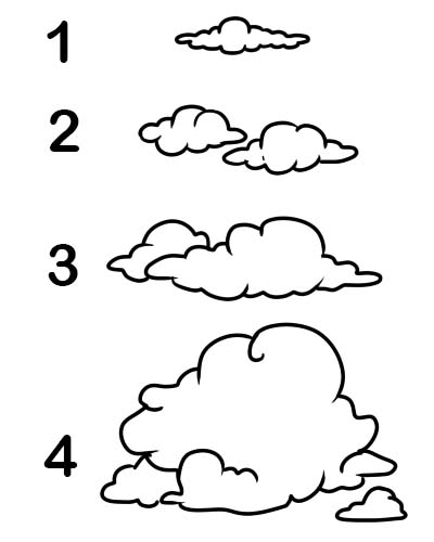
These clouds occur in air mass conditions that are stable and that have structures that look like flat sheets capable of forming at any troposphere’s altitude. By the use of different altitude ranges, this form is divided into different genera as given below:
CIRRIFORM
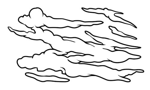
They belong to the cirrus genus appearing as filaments that have been semi-merged or detached. They are formed in high tropospheric’s altitudes in stable air with no or very little convective activity. Denser patches may however bring about buildups resulting from convection of high level where partly unstable air is.
STRATOCUMULIFORM
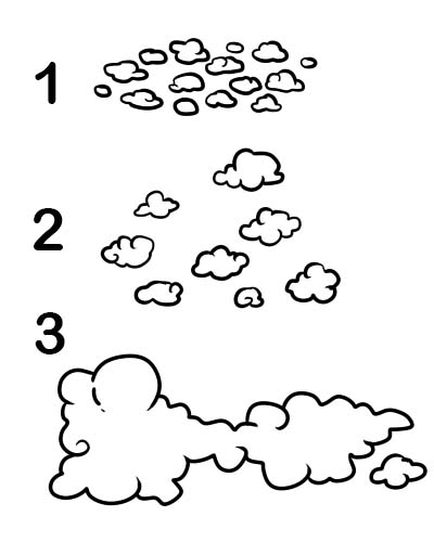
This refers to the clouds having the characteristics of both stratiform and cumuliform. Their formation is a result of convection that is limited. This physical structure is divided into three:
CUMULIFORM
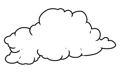
This refers to clouds that normally appear in tufts or heaps that are isolated. Larger types of cumuliform indicate convective activity and atmospheric instability, either moderate or strong. In relation to their vertical size, cumulus clouds can be either low or multi-level.
CUMULONIMBIFORM
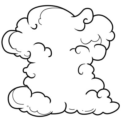
This refers to the largest clouds that are free from convection. They mainly occur in the air that is unstable. The clouds’ upper parts mainly have fuzzy outlines and at times they have anvil tops.
HIGH LEVEL. Altitude 3000 to 7600 meters (10,000 to 25,000 feet) in the polar regions; 5000 to 12200 meters (16,500 to 40,000 feet) in the temperate regions; and 6100 to 18300 meters (20,000 to 60,000 feet) in the tropics. Because it is colder higher up, these clouds are mostly made of ice crystals. High-level clouds usually have the prefix “cirro” or “cirrus” in their name.
MID-LEVEL. About an altitude of 2000 meters (6, 500 feet). They may be made up of water droplets or ice crystals. Medium-level clouds usually have the word “alto” in their name.
LOW LEVEL. Below an altitude of 2000 meters (6, 500 feet). They are often composed of mostly water droplets. Low-level clouds usually have the word 'stratus' in their name.
MULTI-LEVEL. This refers to clouds having low to middle levels that form anywhere from near the surface to about 2,400 meters (8,000 feet). These are also known as 'vertical clouds' and usually have the word "cumulus" in their name. These clouds are very tall and may span many of the cloud levels.
Accessory clouds. This refers to clouds that are formed as supplements and that are not attached to the main cloud.
Here's a quick snapshot of the 10 different types of clouds: